Utility searches
PAS 128 Survey Type D searches compiling available statutory utility records for the proposed site.
- Utility-provider records
- Site-specific search area
- Consolidated report pack
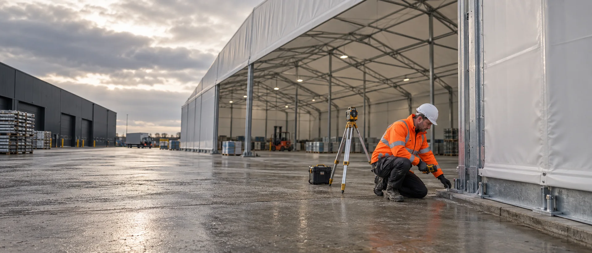
Search · Detect · Map · Test
Site intelligence for temporary, modular and semi-permanent commercial structures, from utility records and detection through to anchor testing and recorded results.
Request a site review ↗HEXCO supports contractors, structure suppliers and operators with evidence to plan around buried services, site constraints and proposed anchor locations.
The scope is tailored to the footprint, ground works, anchorage proposal, programme and outputs required by the wider project team.
A coordinated survey and testing package, or an individual service where the requirement is already defined.
PAS 128 Survey Type D searches compiling available statutory utility records for the proposed site.
On-site detection using Ground Penetrating Radar and electromagnetic location to investigate buried services.
Site attendance to review proposed structure and anchor locations and record visible constraints.
Trial pull-out and installed-anchor proof testing against engineer-specified loads and acceptance criteria.
Important: Desktop utility searches provide available record information and do not confirm exact service positions. On-site detection, safe excavation practices and the project-specific risk assessment remain essential.
The sequence is agreed around the proposed footprint, anchorage system and project programme.
Review drawings, footprint, ground works, anchorage proposal and existing information.
Obtain records and undertake the agreed on-site survey and positioning.
Complete specified testing and issue clear results, drawings and photographic evidence.